Chesapeake Bay Environmental Forecast System
Client
College of William and Mary, Virginia Institute of Marine Science (VIMS)
Project Categories
Tags
monitoringData Analysis & VisualizationlayersPredictive Modeling & Machine LearningStaying Ahead of Changing Conditions
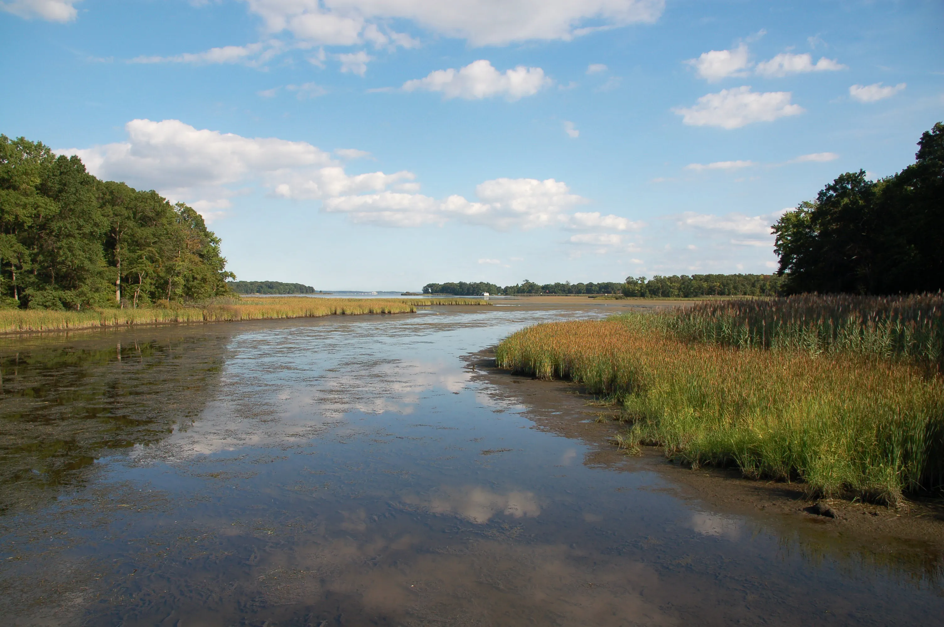
Conditions in Chesapeake Bay, the largest estuary in the United States, can change quickly, affecting aquatic life and the people who depend on its waters. Recreational and commercial fishers, managers, beachgoers, and aquaculturists want a tool they can rely on to efficiently and succinctly understand the changing conditions so they can make daily decisions. For example, excess nutrients can fuel algal blooms that deplete oxygen as they decompose, creating “dead zones” where fish, crabs, and other organisms struggle to survive. Stinging sea nettles ruin otherwise exciting days at the beach or on the water. Water clarity affects where and when to fish and has other affects on biota, while harmful algal blooms can result in fish kills or mortality of oysters and clams. Anticipating these conditions, along with changes in temperature, salinity, and other environmental factors, gives water quality managers and communities information they need to plan ahead. Also, emergencies like the Key Bridge collapse in Baltimore can result in the immediate need for accurate and timely information, including forecasts of currents and waves for emergency response.
Turning Models into Practical Forecasts
FlowWest is collaborating with the Virginia Institute of Marine Science on the Chesapeake Bay Environmental Forecast System, an automated modeling system that runs daily to provide five-day forecasts of conditions throughout Chesapeake Bay. The system combines three-dimensional models of water movement, water chemistry, waves, and sediment transport to predict conditions ranging from dissolved oxygen and water clarity to harmful algal blooms and sea nettles. Public dashboards, automated alerts, and accessible model data bring these forecasts to users, while ongoing outreach helps the team tailor graphics to practical needs. Automated seasonal summaries provide immediate retrospectives of what conditions have been, so managers and the public can understand in real time fish habitat, environmental stressors, or general water quality.
Better Forecasts, More Informed Decisions
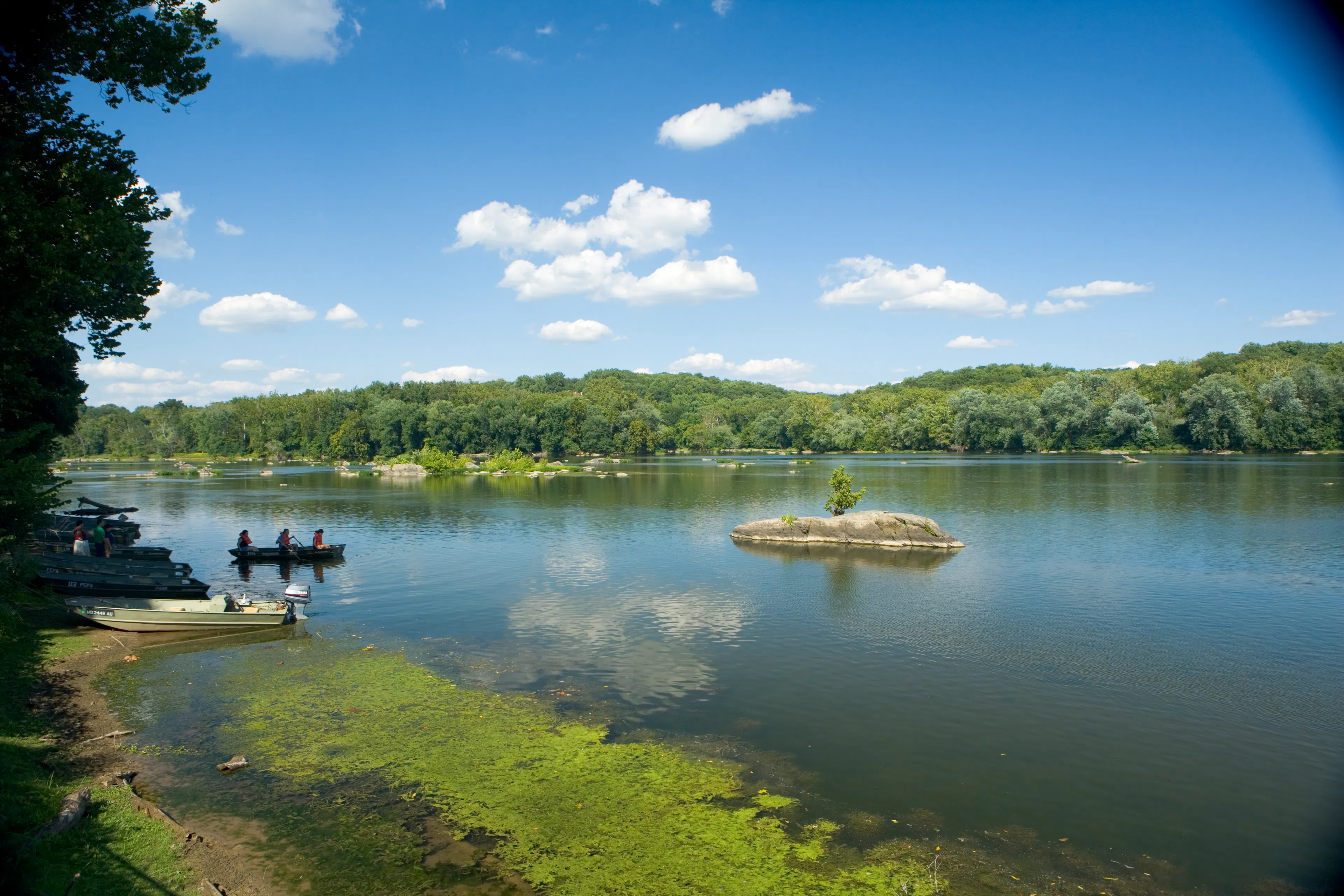
Some of the uses of these forecasts are to help scientists plan field studies, fisheries managers assess spawning conditions, and anglers or beachgoers plan time on the water. FlowWest also contributes to annual hypoxia forecasts in the spring and retrospective fall assessments that provide a broader view of the Bay’s health and its response to nutrient reductions and changing weather. Together, these tools connect environmental science to everyday decisions while demonstrating how similar forecasting approaches could support water management, ecosystem protection, and recreation in estuaries around the county. Extensive outreach to angler groups and aquaculturists, word of mouth conversations, and tracking of webpage views using Google Analytics has demonstrated a wide range of repeat users of the forecasts.
The Team
Aaron Bever, Michael MacWilliams, Cat Pien